tex
That's Mr Asshole to you
UPDATE*****5/11/11**** I just realized I planned this for Father's Day weekend. In order for me to go we will need to reschedule. Taking suggestions for dates.
I have done a lot of looking and it looks like there is a very large network of trails in the lower Ouachita Mountains in south east Oklahoma. It is called the K Trail and starts right by Lake Clayton and goes all the way to Arkansas.
There are several trails that branch off of K Trail and I was told that all of the trials to the south are legal. To go from Lake Clayton to Indian Highway takes about 6 hours of solid driving. We can explore other trails along the way and camp somewhere in between.
Another option is to keep heading east and we can end up at highway 259. If we choose to go all the way to 259 we will want to start on the trail sometime early Friday to make sure we have enough time to make it all the way through.
I am working on getting some other map together besides Google.
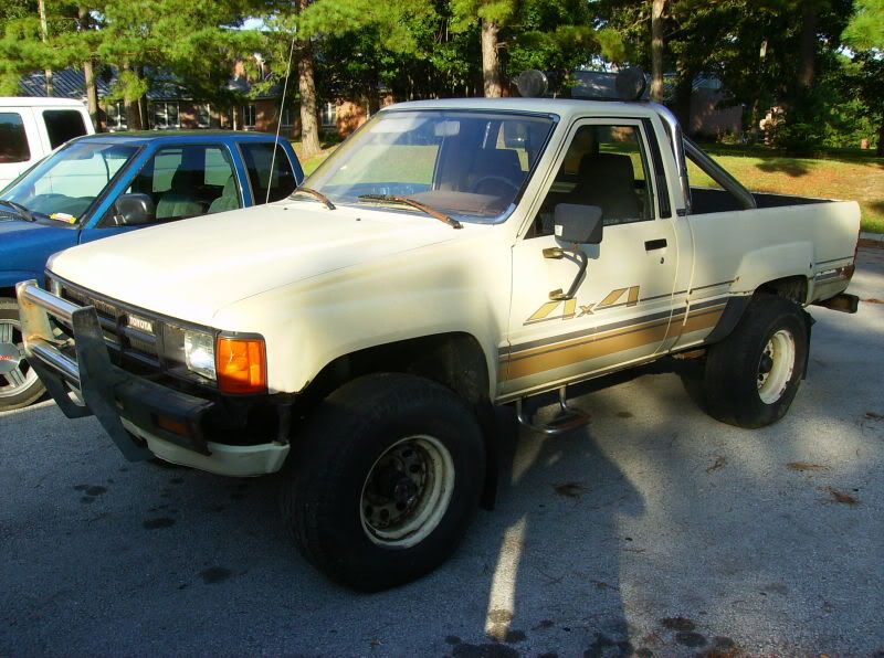
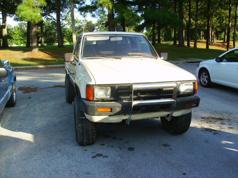
This is an expedition/camping type of trip and from what I understand the chances of body damage are minimal but still possible.
I am not sure if there are fishing opportunities but I am going to bring some tackle. After the trip I may stay 1 more night at Beavers Bend state park and do some trout fishing if anyone is interested you are welcome to join. I know this park and river VERY well and I can almost promise a nice stringer of rainbow trout.
A $25 land use permit is required and can be purchased at 1 of the grocery stores in Clayton. The K Trial is an old logging trail and the land is a combination of private land but mostly is a state game preserve.
Here are some links to some info and previous trips on the trial.
http://www.expeditionportal.com/forum/showthread.php?t=36996 (there is a really good reason why lift blocks are bad in this thread. Pictures tell a thousand words.)
http://maps.google.com/maps/ms?ie=U...d=101636131994481156514.00047cdbf3e245a4fca7c
http://maps.google.com/?sll=34.59972...&spn=0.05,0.05
http://www.placenames.com/us/p1101488/
http://www.twtex.com/forums/showthread.php?t=45426
This weekend is not a set thing and can be altered if it will allow more of y'all to come.
It is about a 4 hour drive from my house in Arlington and think if we leave by 10:00am we should be good if we choose to go all the way to 259.
1. Aaron (Tex)
2. Blake (Thatguy18)
3. Jason (kidcatcher)
4. Brian (fsbrain)
5. MCTacodriver
6. Tyler (a friend of mine with a Jeep GC)
I have done a lot of looking and it looks like there is a very large network of trails in the lower Ouachita Mountains in south east Oklahoma. It is called the K Trail and starts right by Lake Clayton and goes all the way to Arkansas.
There are several trails that branch off of K Trail and I was told that all of the trials to the south are legal. To go from Lake Clayton to Indian Highway takes about 6 hours of solid driving. We can explore other trails along the way and camp somewhere in between.
Another option is to keep heading east and we can end up at highway 259. If we choose to go all the way to 259 we will want to start on the trail sometime early Friday to make sure we have enough time to make it all the way through.
I am working on getting some other map together besides Google.
This is an expedition/camping type of trip and from what I understand the chances of body damage are minimal but still possible.
I am not sure if there are fishing opportunities but I am going to bring some tackle. After the trip I may stay 1 more night at Beavers Bend state park and do some trout fishing if anyone is interested you are welcome to join. I know this park and river VERY well and I can almost promise a nice stringer of rainbow trout.
A $25 land use permit is required and can be purchased at 1 of the grocery stores in Clayton. The K Trial is an old logging trail and the land is a combination of private land but mostly is a state game preserve.
Here are some links to some info and previous trips on the trial.
http://www.expeditionportal.com/forum/showthread.php?t=36996 (there is a really good reason why lift blocks are bad in this thread. Pictures tell a thousand words.)
http://maps.google.com/maps/ms?ie=U...d=101636131994481156514.00047cdbf3e245a4fca7c
http://maps.google.com/?sll=34.59972...&spn=0.05,0.05
http://www.placenames.com/us/p1101488/
http://www.twtex.com/forums/showthread.php?t=45426
This weekend is not a set thing and can be altered if it will allow more of y'all to come.
It is about a 4 hour drive from my house in Arlington and think if we leave by 10:00am we should be good if we choose to go all the way to 259.
1. Aaron (Tex)
2. Blake (Thatguy18)
3. Jason (kidcatcher)
4. Brian (fsbrain)
5. MCTacodriver
6. Tyler (a friend of mine with a Jeep GC)
Last edited: